
Starting Point
As part of the current consulting mandate WAM planers and engineers have been entitled to develop a spatial model of the community. During the revision of the town plan the spatial model has to be developed in compliance with the (cantonal planing and construction orders) which is the basis that must be taken into account and prioritised.
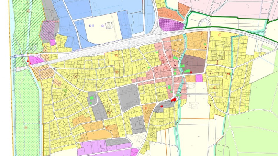
Spatial Model
Within the spatial model the basic pattern is where the ground is going to be used in which way. What seems to be simple can become a complex challenge in practice. The most important principle decisions about the future spatial developments of the community concerning the structure of settlement, frees pace and landscape as well as traffic and infrastructure are made. For a holistic community development, the model also gives statements on aspects of living together. In the phases of the urban planning revision, the ideas, wishes and visions of village development are elaborated.
In order to show the various possibilities of development as well as the limits of growth, good cooperation with the municipal authorities and the community inhabitants is necessary. This is due to particular expectations to the spatial model, to serve as a politically broad-based requirement and the basis for the subsequent elaboration of the ground owning duty planning instruments.
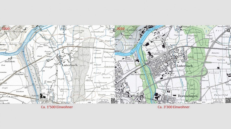
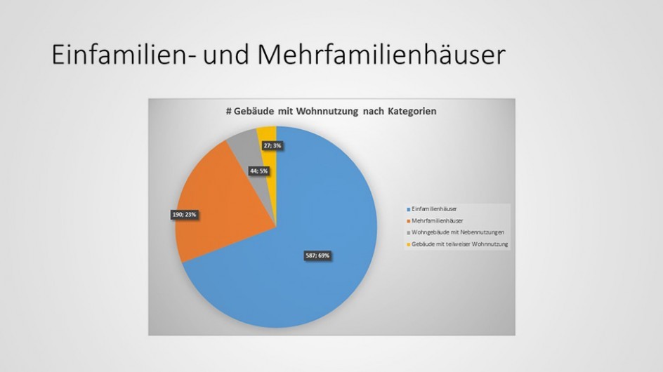
The development of the actual spatial model requires a detailed analysis of the current state, the development over the past years and an estimation of the possible development potential. A technical justification and profound clarification is called for to find which development scenario is to be aimed for and which locations are the “right” for structural development. The development scenarios must be coordinated with the overarching planning and, where necessary, the planning of the neighbouring communities.
Tasks of WAM
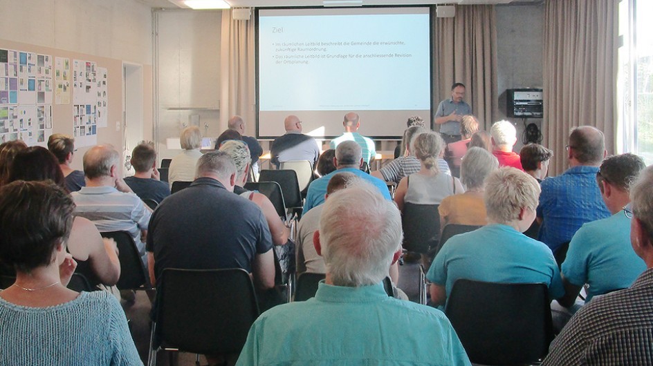
The task of WAM planners and engineers is the elaboration of the spatial model, consisting of the plan and the report, including all the work steps involved. WAM planners and engineers take care of informing the municipal authorities and the population.
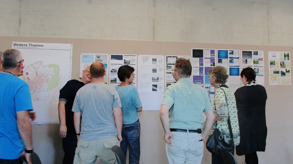
The gradual elaboration and treatment of the documents in a specially compiled planning group has proven to be expedient. The council is regularly informed about the progress of the planning and the direction of development intentions. On at least two occasions, the population is given the opportunity to comment on the spatial model. Within the scope of a public workshop, it can contribute to fundamental improvements and concerns. It is possible to react with a written statement to the first draft of the mission.